Master advanced strategies to maximize your casino winnings
04/04/2026
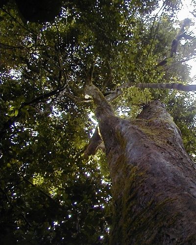
This low population density in Toko is due to the dense tropical forest most of which are reserved. These include KORUP Park which occupies a surface area of 49,105 hectares (491.05 km2) which are dedicated primarily to conservation, research and tourism; the RUMPI Hills covers a surface area of 5,445 hectares (54.45 km2) and the Christian Philanthropic Community Forest covers a surface area of 4,928 hectares (49.28 km2). An organization from the United States of America called SG SOC has recently settled (and put in place a oil palms nursery) in Lipenja and is requesting 13,303 hectares (133.03 km2) of land. If granted these organizations will have control of more than 70% of the entire surface area of Toko municipality while the communities that are comprised of the Ngolos, Batangas or Bakokos will be left with about 30% of land on which to engage in farming and hunting. The municipality is endowed with natural resources including stones, rocks, sand deposits, timber (iroko, asube, njabe, mahogany, ebony, sapelle, obeche, bobinga, duzie), NTFP (bush mango, bush onion, febe etc) and wildlife.
3 Replies to “Location of the Toko Municipality”
Isaac Herman
03 Jun 2021 [8:56am]How all this mistaken idea of denouncing pleasure and praising pain was born and I will give you a complete account of the system.
William Cobus
03 Jun 2021 [8:57am]Undertakes laborious physical exercise, except to obtain some advantage from it but who has any right to find fault.
William Cobus
03 Jun 2021 [8:57am]Undertakes laborious physical exercise, except to obtain some advantage from it but who has any right to find fault.